GIS · Software · Environmental health

Mapping geospatial innovation

GIS consultancy and software solutions for public health, the environment and business intelligence, in Jamaica and beyond.

Who we are

Transforming Jamaica through geospatial intelligence

SynerGIS Limited brings together GIS, environmental health and software to drive smarter decisions and sustainable development across Jamaica.

From public health analytics to environmental monitoring, we unify data, technology and expertise so you can see change as it happens and act with precision.

More about us
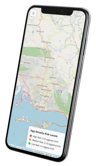
Ovitracker risk map on a phone

Integrated mapping

Spatial data and analytics for evidence-based decisions.

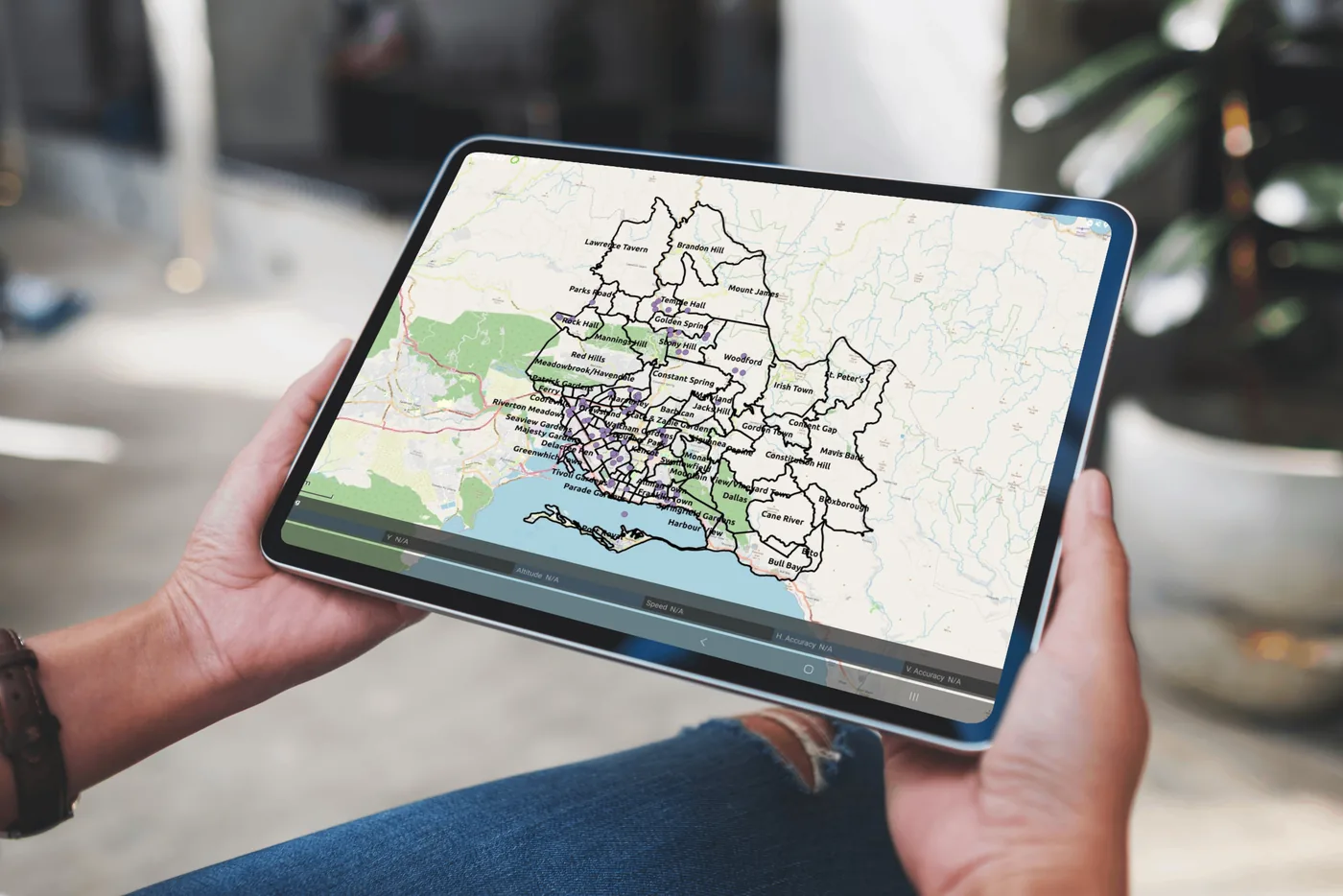
From epidemiological mapping to land-use planning, we deliver geospatial insight that helps public health authorities, businesses and government agencies see problems clearly and target their response.

Smart solutions

Web and mobile platforms built for public health and environmental systems.

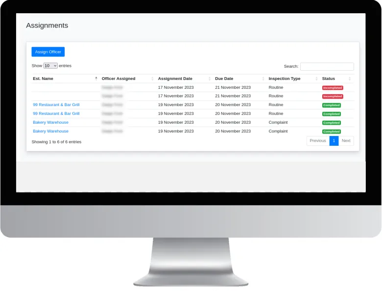
Applications like Ovitracker and Food Safety Manager turn field data collection and reporting into real-time intelligence, improving monitoring, transparency and field efficiency.

Sustainable impact

Helping communities, organisations and agencies get better results through GIS.

We support work that builds Jamaica’s environmental resilience and sustainable development, bridging spatial science and community action for safer, cleaner and healthier places.

Data confidence

Geospatial data kept accurate, secure and private.

Secure cloud systems and careful data validation keep sensitive health and environmental data protected, traceable and available when decisions need to be made.

What we do

Our services

We combine geospatial expertise, technology and public health insight to build digital solutions that strengthen Jamaica’s health and environmental systems. Through consultancy, software development and data visualisation, we help organisations make smarter, faster and more sustainable decisions.

GIS consultancy

Spatial analysis, mapping and data systems for smarter planning, environmental management and evidence-based public health interventions.

Software development

Custom applications and APIs that digitise field operations, improve efficiency and support real-time decisions in health and the environment.

Environmental health systems

Digital tools for food safety, vector control and water management that support data-driven policy and sustainable development.

Data visualisation and insights

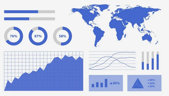
Interactive dashboards and geospatial analytics that turn data into clear, actionable insight for better health intelligence.

Let’s build smarter together

Whether you’re a public health agency, a university or a private enterprise, SynerGIS helps you turn data into action. We collaborate on research, build GIS systems and deliver solutions for Jamaica’s sustainable future.

info@synergis.com.jm(876) 315-3462